Texas

$50.00

There’s nothing quite like the landscape of Texas—vast, rugged, and full of character. Our 3D-Printed Topographical Map of Texas captures that bold spirit in a way that’s both artistic and scientifically precise. Designed and printed by SLIC3D.COM, this piece transforms real elevation data into a tactile experience you can hold, admire, and display.

Printed using carbon fiber-infused PLA in a unique three-color layout, the map reveals Texas's varied geography in stunning depth—from the rolling Hill Country and the high plains of the Panhandle, to the dramatic rise of Big Bend and the subtle dips of East Texas.

What makes it special:

  • Incredible Accuracy: Created from real topographical data for an exaggerated representation of Texas’s land features.

  • Premium Materials: Carbon fiber PLA gives each map a high-end look with enhanced durability and a smooth, modern finish.

  • Striking Color Contrast: Three distinct tones highlight elevation shifts and terrain details, making the map both informative and beautiful.

  • Versatile Decor: Whether it’s for a study, classroom, office, or living room, this map adds a thoughtful touch of Texan pride. Also makes a fantastic gift!

Each map is printed layer-by-layer with care, giving every piece its own subtle texture and individual charm.

This isn’t just a map—it’s a tribute to Texas.
Get yours from SLIC3D.COM and celebrate the land that’s as big and bold as the people who call it home.

Quantity:
Add To Cart

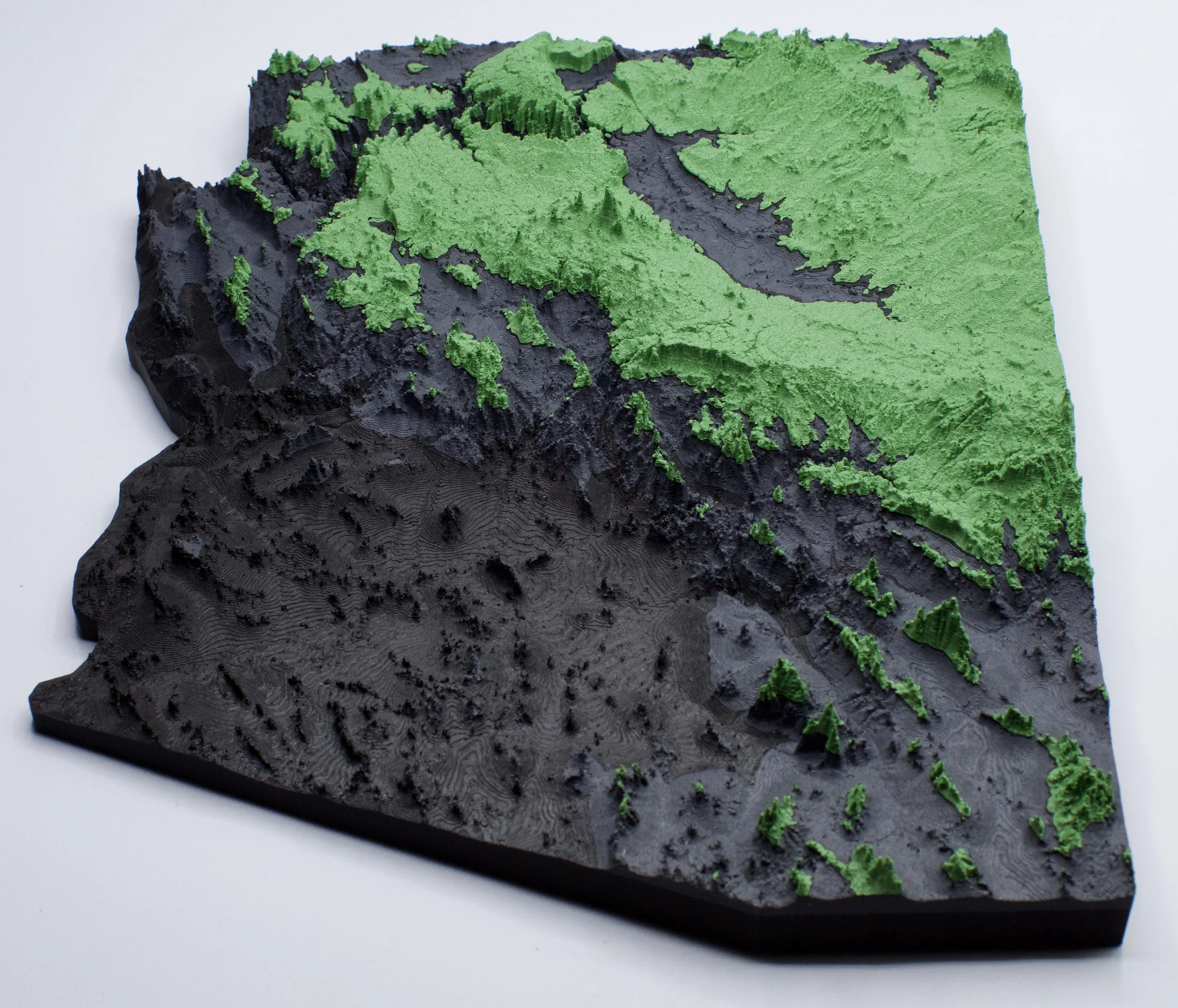
Dimensions: Approximately 9-10 inches. Sizes vary based on model.

Each item is made to order so shipping times could be up to 7-10 days depending on order volume.

Slight variations in printing means no two orders are exactly the same, but we try to keep it as close to the original as possible.

Arizona - Stone
$50.00
Utah
$50.00
Arizona
$50.00
The Grand Canyon
$250.00
Idaho
$50.00